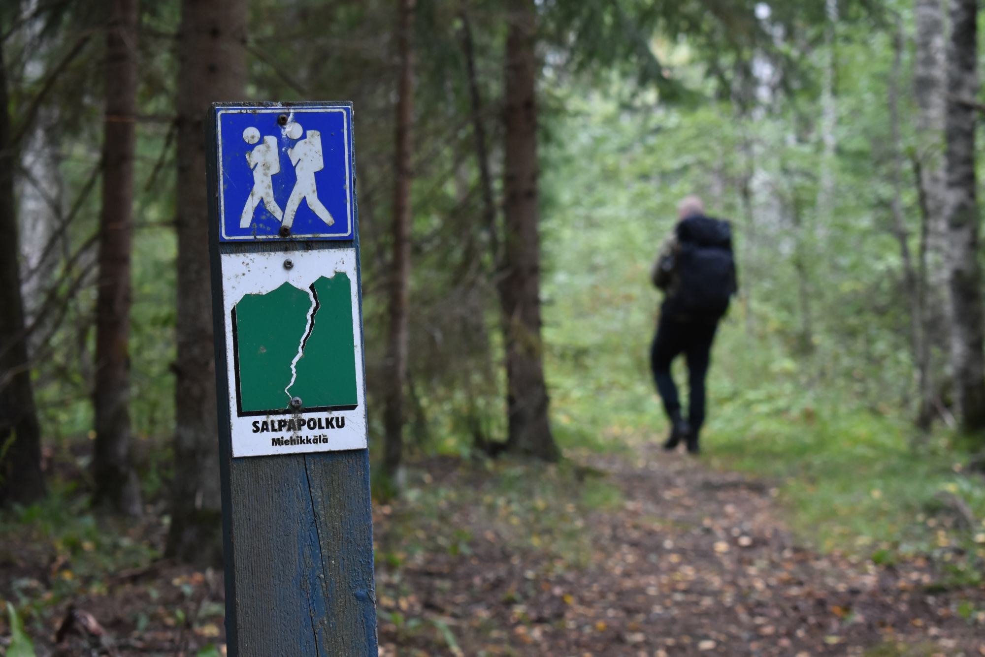
Take a hike on the Salpa Trail
The Salpa Trail offers an excellent natural setting for outdoor exercise and refreshment. A 50-kilometre hiking route running along the Salpa Line, the Salpa Trail familiarises hikers with both the Salpa Line and the wonderful nature and cultural environment of South-East Finland. The route begins in Virolahti by the sea, runs through forests, past hills and across fields and continues all the way to Miehikkälä, and to the edge of South Karelia. Along the way, you can explore various parts of the Salpa Line, including reinforced concrete bunkers, accommodation caves and other fortifications.
Also located along the Salpa Trail are Bunker Museum in Virolahti and Salpa Line Museum in Miehikkälä.
Hiking Map
There is a hiking map in Finnish available for the Salpa Trail, indicating the route, the rest areas and the Salpa Line sites made safe for hikers and equipped with information boards. The map also provides information about the Salpa Line and nature along the route. Hikers are advised to use the map for help on the Salpa Trail.
The hiking map is available online (in Finnish). You can also get the hiking map at the Virolahti and Miehikkälä municipal halls, Bunker Museum and Salpa Line Museum.